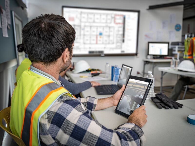
Leica Geosystems continues to innovate in the field of reality capture, offering tools that enhance precision and efficiency. The latest update to Leica TruView introduces features like pipe snapping and Smart Align, building upon the capabilities of Leica Laser Scanners. Let’s explore these enhancements and how they improve your workflow.
Enhancing visualizations and measurements with Leica TruView
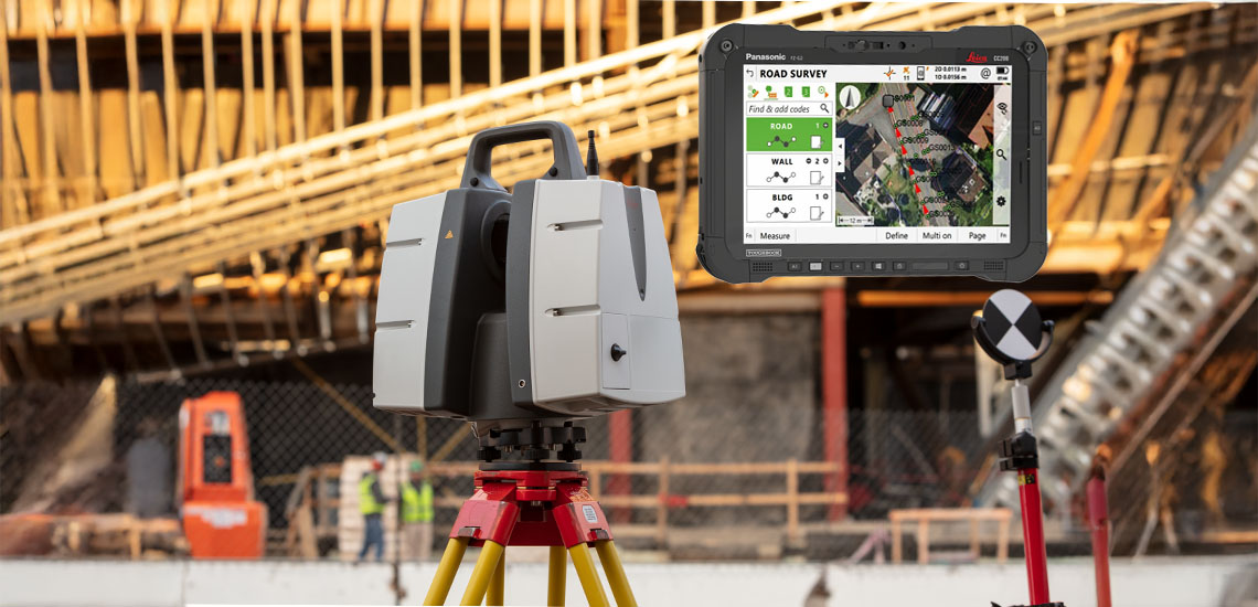
Leica TruView serves as a powerful platform for visualizing and measuring point cloud data captured by Leica Laser Scanners. It enables users to navigate complex datasets, extract accurate measurements, and collaborate effectively.
The recent updates further enhance these capabilities, making it an indispensable tool for professionals engaged in detailed spatial analysis and modeling.
New features: Pipe Snapping, GeoTags, and Smart Align
Pipe snapping: Precision at your fingertips
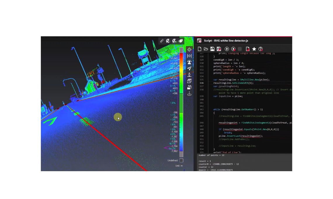
The new pipe snapping feature in TruView revolutionizes the way users measure distances in pipe-centric environments. By enabling measurements to snap directly to pipe centerlines and edges, this tool enhances accuracy and efficiency.
Users can toggle these snapping options on or off during measurements, providing flexibility based on specific project requirements. This functionality streamlines workflows, reducing the potential for manual errors and ensuring that measurements are both precise and contextually relevant.
Pipe Diameter Measuring Tool: Simplifying Assessments
Complementing the pipe snapping feature, the pipe diameter measuring tool offers a one-click solution to determine pipe dimensions accurately. By selecting a pipe within the point cloud, users can instantly obtain diameter measurements in their chosen units. This tool simplifies assessments, making it easier to plan and execute projects that involve detailed pipework analysis.
GeoTag enhancements: Improved data categorization and spatial analysis
GeoTags in TruView have been enhanced to support better data categorization and spatial analysis. Users can now color GeoTags by category, facilitating easier identification and organization of data points. This improvement streamlines the process of associating specific data with geographic locations, enhancing the overall utility of the captured data for analysis and decision-making.
Smart align: Streamlining BIM model alignment
Aligning Building Information Modeling (BIM) models to point clouds has traditionally been a time-consuming process requiring meticulous manual adjustments. The Smart Align tool in TruView automates this alignment, significantly reducing the time and effort involved.
By bringing the model and point cloud into proximity, users can utilize Smart Align to achieve accurate alignments swiftly, enhancing productivity and ensuring that models accurately reflect real-world conditions.
Looking ahead: Future developments
Leica Geosystems continues to innovate, with upcoming features aimed at further enhancing user experience and functionality. Planned developments include 3D map tours, which will allow users to create immersive walkthroughs of their projects, and advanced model interactions, offering more dynamic ways to engage with 3D models.
These features are set to improve project visualization and collaboration, making it easier for teams to interpret and interact with complex data.
Additional enhancements: Improving user experience
Beyond the major feature updates, several refinements have been introduced to improve the overall user experience:
- Touch-Friendly clip boxes: The clip box creation tools have been enhanced to support touch screen devices, allowing users to adjust clip boxes intuitively using touch controls. This improvement is particularly beneficial for users operating in field environments where touch devices are prevalent.
- 4K display support: TruView now supports 4K displays, providing users with high-resolution visuals that enhance the clarity of point clouds and models. This feature ensures that intricate details are visible, improving the accuracy of measurements and analyses.
- Faster point cloud rendering engine: The rendering engine has been optimized for improved performance, allowing for faster loading and manipulation of large point clouds. This enhancement ensures that users can work more efficiently, even with extensive datasets.
Conclusion
The latest updates to Leica TruView exemplify Leica Geosystems’ commitment to enhancing reality capture workflows. Features like pipe snapping, advanced measuring tools, GeoTag improvements, and Smart Align empower users to work more efficiently and accurately. As Leica Geosystems continues to innovate, the future of reality capture looks promising, with developments aimed at further improving data visualization, analysis, and collaboration.