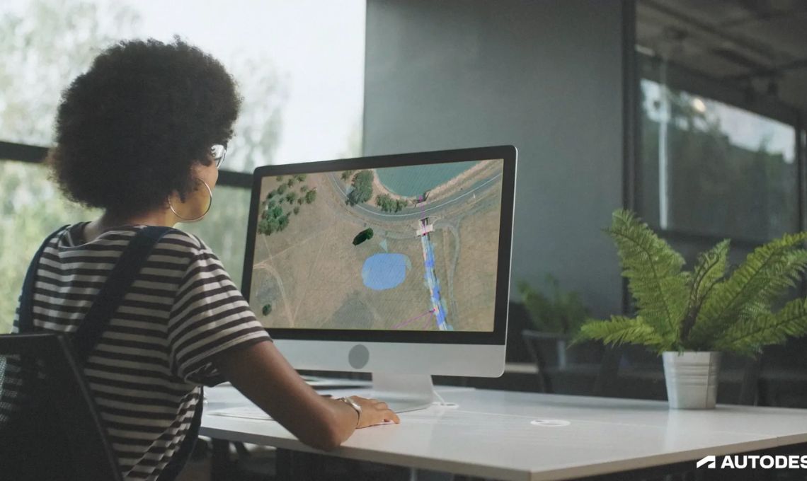
The 2026 version of Autodesk Civil 3D is here, and it’s packed with upgrades that make infrastructure design more intelligent, collaborative, and efficient. Whether you’re working on stormwater systems, railways, or large-scale site development, this new release is all about helping you get work done faster, with fewer headaches.
Let’s break down what’s new and why it matters for your projects.
Drainage design, now smarter than ever
Designing drainage systems used to mean lots of manual steps and room for error. That’s changing with Dynamo integration in Civil 3D 2026. You can now automate how catchment areas are created and managed, and define flow paths more quickly with new smart nodes.
Need to create feature lines from points? The new FeatureLine.ByPoints tool makes that simple. It’s all about putting intelligent automation at your fingertips, saving time and giving you more control over the design.
Rail projects get a big upgrade
If you work on rail infrastructure, you’ll love the improvements in Project Explorer. This tool now makes it much easier to handle complex track geometry, especially when it comes to combining speed, curvature, and cant values.
You can also use the AutoCAD command line to interact with rail elements, which makes fine-tuning your designs quicker and more intuitive.
Say goodbye to heavy surfaces
Working with large surface files can really slow down your workflow. Civil 3D 2026 now lets you reference only the surface data you actually need, just define your area of interest and skip the rest. This makes your drawing files lighter and faster to work with, especially on big projects with tons of terrain data.
Coordinate systems, now easier to handle
Need to change coordinate systems mid-project? No problem. The upgraded Coordinate System Transformation tool lets you switch things up easily, reducing errors and rework. It also supports new coordinate systems, helping you stay accurate across local and regional datasets.
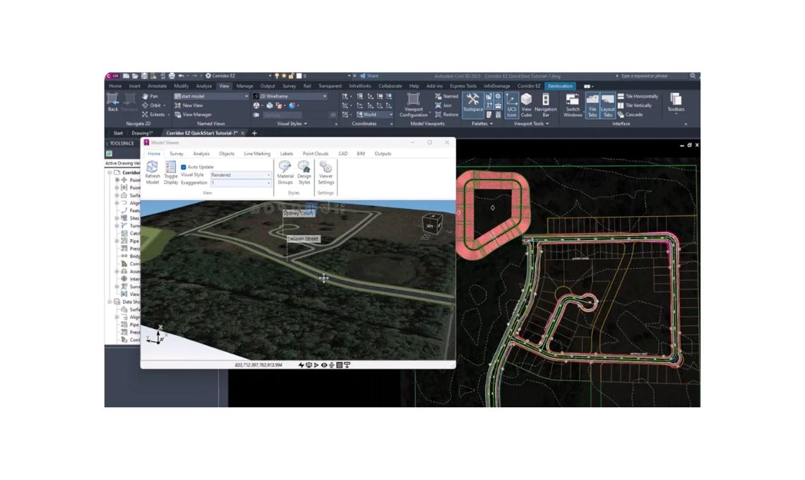
A 3D Viewer you can actually use while you work
Design review just got a lot more visual. The new 3D Model Viewer gives you a live, interactive window you can keep open while designing in Civil 3D. Want to check your model from different angles or see how changes affect nearby elements? Just toggle layers or zoom in, all without breaking your workflow.
It’s a game-changer for spotting issues early and getting faster approvals.
Built-In drainage analysis (No extra software needed)
Another big win: Civil 3D 2026 now includes a Drainage Analysis extension powered by InfoDrainage. That means you can simulate ponds, pipes, and underground storage systems without leaving the Civil 3D environment or installing extra tools.
It even supports cloud-based simulations, so you can run your analysis, review the results, and apply updates all within the same workflow.
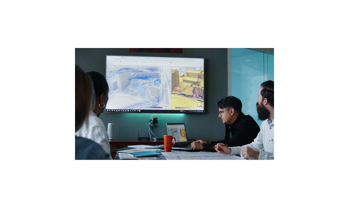
Real time collaboration with Autodesk construction cloud
Collaboration is getting a major boost with new tools that link Civil 3D to the Autodesk Construction Cloud. You can now review designs, track issues, and validate models all in one place. The Civil Tools add-on makes it easier than ever to manage design data across teams, helping you avoid miscommunications and keep projects on track.
Easier reality capture for site conditions
Capturing existing conditions just got a lot smoother with ReCap Pro 2026. You can now process drone or photo data directly within the software, no need for separate installs like ReCap Photo. The updated ReCap Viewer also handles large point clouds better, helping you navigate and annotate your data more efficiently.
It’s a faster way to get accurate site context into your designs.
Sustainability tools built right in
Sustainable design is more important than ever, and Civil 3D is stepping up. The new ORIS plugin helps you run carbon assessments for roads and railways directly within your model. You can compare low-carbon material options and make better design choices that align with your sustainability goals.
Better decisions with geotechnical data at your fingertips
Understanding what’s underground is key to smart infrastructure design. The new GeoDin Ground plugin brings borehole and geotechnical data right into your Civil 3D workspace. You get clear visualizations of soil layers and subsurface conditions, so you can plan foundations and structures with more confidence.
Final thoughts: Built for the way you work
Civil 3D 2026 isn’t just an update, it’s a serious upgrade. It’s built to help you:
- Design smarter with automation
- Collaborate more effectively through the cloud
- Review your work visually in 3D
- Make more informed, sustainable decisions.
Whether you’re planning storm drains, designing a rail corridor, or working on a large site, Autodesk Civil 3D 2026 gives you the tools to do it better and faster.