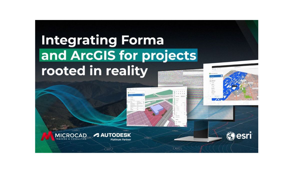
Design and planning today are no longer just about creativity or visuals. They are about understanding real-world context and how a project interacts with its surroundings. That is exactly what happens when Autodesk Forma integrates with ArcGIS, Esri’s leading geographic information system. Together, they bring accurate geospatial data directly into the design environment, giving architects, engineers, and planners the insight they need to make smarter decisions from the start.
With this integration, teams can easily access terrain information, infrastructure layouts, environmental data, zoning boundaries, and aerial imagery, all inside their design workspace. They can visualize how their ideas fit into real environments and then export georeferenced models into Revit for detailed development, without needing specialized GIS expertise.
What is Autodesk Forma and why It matters
Autodesk Forma is a cloud-based platform built for early-stage planning and analysis. It enables professionals to explore design concepts, test performance, and collaborate seamlessly with teams across the globe. Instead of relying on limited or outdated information, users can connect directly to ArcGIS and bring real-world context into their projects.
This integration makes the design process more fluid and precise. Architects and planners can evaluate a project’s feasibility using live data, spotting opportunities and challenges from the very beginning. With Forma, everything from terrain to environmental constraints becomes part of the design conversation from day one.
What ArcGIS brings to the design process
Developed by Esri, ArcGIS is the global standard for mapping and spatial analysis. It offers detailed geospatial data (topography, land use, infrastructure networks, environmental insights, and demographics) that helps professionals understand the bigger picture of a site before any design begins.
When linked with Autodesk Forma, ArcGIS delivers this information directly inside the design environment. Designers no longer have to jump between platforms or manually import GIS files. Instead, they can access trusted, real-time geospatial data and make informed decisions based on accurate, location-specific insights.
How Autodesk Forma and ArcGIS work together
The integration between Autodesk Forma and ArcGIS makes it easy to anchor a project to its real-world location. Once a site is selected, Forma automatically imports detailed data from ArcGIS, including:
- Terrain and elevation: to analyze slopes, grading, and drainage
- Existing infrastructure: such as roads, utilities, and surrounding buildings
- Environmental features: including vegetation, rivers, and protected areas
- Zoning and land use data: to understand regulatory frameworks
- Satellite imagery: for realistic site visualization
All this information is available directly within Forma’s interface, allowing teams to study the physical, environmental, and legal context of a project without ever leaving the design platform.
Benefits of using real-world data in design
Integrating Autodesk Forma with ArcGIS transforms how design teams approach their work. By combining creative tools with reliable geospatial data, teams can make faster, smarter, and more collaborative decisions.
Key advantages include:
Deeper site understanding
Designers gain a complete view of the site’s physical and environmental conditions, reducing surprises and rework later on.
Faster decision-making
With accurate data embedded in Forma, teams can quickly test ideas, evaluate challenges, and refine designs in real time.
Stronger collaboration
Because both Autodesk Forma and ArcGIS are cloud-based, all team members have access to the same up-to-date information improving coordination among architects, engineers, and planners.
Streamlined workflows
There’s no need for advanced GIS expertise. The integration makes accessing complex geospatial data simple and intuitive.
More realistic proposals
Projects designed with accurate site data are more credible, persuasive, and easier to visualize for clients and stakeholders.
From concept to Revit: Maintaining geospatial accuracy
A standout advantage of the Autodesk Forma, ArcGIS integration is the ability to export models directly into Revit while preserving their geographic accuracy.
Everything, from terrain elevation to infrastructure, stays consistent as the project moves from conceptual design to detailed modeling. This seamless transition between Forma and Revit ensures continuity across the entire workflow, saving time and minimizing the risk of data loss or misalignment during the design and construction phases.
Real-World applications of Forma and ArcGIS
The partnership between Autodesk Forma and ArcGIS is already driving smarter planning and design across industries. Examples include:
- Urban planning: Analyze zoning, transportation, and environmental impact before developing master plans.
- Infrastructure design: Use precise terrain and hydrology data for roads, bridges, and utilities.
- Sustainable architecture: Evaluate solar exposure, vegetation, and flood risk to create resilient, efficient buildings.
- Site selection: Compare potential locations based on accessibility, environmental, and regulatory factors before investing.
Each example shows how combining design and geospatial intelligence leads to more accurate, efficient, and sustainable outcomes.
Designing with context and confidence
Integrating Autodesk Forma with ArcGIS introduces a new mindset in design, one where site data isn’t an afterthought but a foundation. It allows teams to design with full awareness of their surroundings and use that understanding to create projects that are smarter, more adaptive, and better aligned with their environments.
By merging real-world data with advanced design tools, Autodesk Forma and ArcGIS empower professionals to make informed decisions, collaborate effortlessly, and carry their ideas from concept to construction with confidence. This is what it means to design with context and to create projects truly rooted in reality.