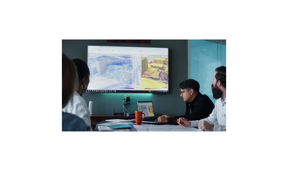
Every engineer understands the challenge of managing multiple design elements while maintaining accuracy across large projects. Manual adjustments can quickly become overwhelming.
Corridor EZ for Civil 3D simplifies that work by offering smart tools that automate repetitive processes, reduce errors, and help teams deliver complete subdivision road designs more efficiently.
Simplifying Subdivision Design Workflows
Subdivision road projects often involve dozens of interconnected corridors, multiple design profiles, and complex surface relationships. Traditional Civil 3D workflows, while powerful, can become cumbersome when scaling up. That’s where Corridor EZ changes the game.
The platform adds a structured yet flexible layer of automation over Civil 3D’s native tools. Instead of manually managing every corridor, alignment, and intersection, users can now automate repetitive tasks such as generating corridor networks or adjusting profiles without sacrificing design control.
The result? Projects move forward faster, coordination improves, and errors are reduced early in the process, before they can impact downstream deliverables.
Intelligent Intersection Management
One of the most time-consuming challenges in subdivision design is building and editing intersections. Each connection between roads requires detailed attention adjusting grades, curbs, and transitions to maintain smooth and safe geometry.
Corridor EZ introduces Intersection Manager, an intuitive interface that simplifies this task. Designers can create and edit intersections with real-time feedback, instantly seeing how geometric adjustments affect surrounding surfaces and road alignments.
This feature eliminates much of the tedious manual work that used to accompany intersection modeling. It also ensures that intersections are not just visually correct but mathematically consistent with project design standards.
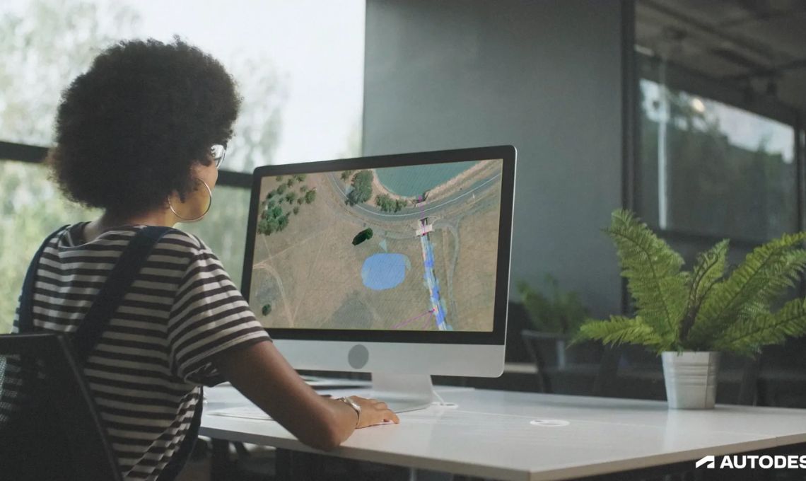
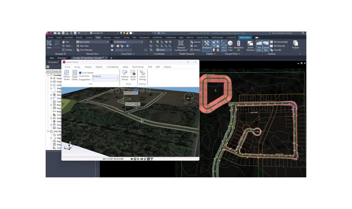
Real-Time Visualization and Decision Support
Visualization plays a major role in communicating design intent. Corridor EZ’s Model Viewer lets users see the complete subdivision network in a dynamic, 3D environment. The viewer supports line-of-sight analysis, enabling designers to verify visibility and safety requirements for curves, intersections, and driveways directly within the model.
Instead of exporting data to a separate visualization platform, engineers can review, adjust, and validate design elements all within a single workspace. This reduces back-and-forth between teams and helps identify potential issues before construction begins.
The result is a design process that not only moves faster but also feels more cohesive and visually intuitive.
Smarter Use of Profiles and Alignments
Subdivision projects often combine multiple road segments designed independently by different teams or across different phases of a project. Coordinating those design elements can be a challenge, especially when it comes to profile matching and alignment consistency.
Corridor EZ offers Projected and Reference Profiles, tools that make it possible to reference existing designs or integrate separate alignments into a single, unified corridor system. Designers can visualize and modify how different profiles interact, ensuring that road connections meet design criteria and maintain consistent grading across the site.
This capability not only saves time but also enhances accuracy, reducing the need for post-design adjustments and rework.
Efficient Surface Output and Corridor Coordination
Every subdivision design ultimately relies on accurate surface data. Traditionally, creating and refining these surfaces (complete with boundaries, breaklines, and target regions) required careful manual editing.
Corridor EZ automates much of this process. Its automated surface output functionality ensures that surfaces are properly generated from corridor data with all necessary details, including feature lines, boundaries, and transitions.
By automating surface creation and updates, engineers can shift their focus from repetitive modeling tasks to more strategic design decisions. It’s a subtle but significant improvement that adds consistency and reduces errors throughout the project.
AI-Driven Network Generation
Perhaps one of the most innovative aspects of Corridor EZ is its use of AI to generate subdivision networks. Instead of drawing every alignment from scratch, users can define layout rules such as road spacing, connectivity, or lot access, and let the system propose intelligent network solutions.
This approach helps engineers explore multiple design alternatives quickly and identify the most efficient configurations for a given site. The AI-assisted design process doesn’t replace human decision-making, it enhances it. By automating initial layouts and iterative changes, designers can spend more time refining geometry and addressing design intent rather than wrestling with technical constraints.
Bringing It All Together
What sets Corridor EZ apart is not just its automation or visualization tools. It’s the way these features connect. The software acts as an integrated design environment where every corridor, alignment, and surface communicates seamlessly with one another.
This interconnected workflow reduces the risk of mismatched data, outdated surfaces, or inconsistent geometry. Designers can move from concept to final output with confidence, knowing their design elements are coordinated and aligned throughout every step.
Subdivision projects are inherently complex, but with the right tools, they don’t have to be difficult. Corridor EZ gives engineers a way to design smarter, communicate better, and deliver projects faster with fewer manual steps and greater control.